 |
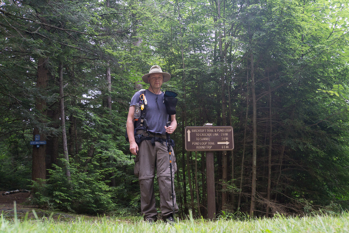
| Starting on Birchtoft Trail |
I
followed Birchtoft Trail to Red Spot to Pumpelly Trail on the way to the top
for a total of about 3.5 miles.
 |
| Red Eft at the Intersection of Birchtoft Trail and Cascade Link |
I was worried that I would get caught up in a
thunderstorm on Monadnock but instead it was completely covered in fog, or
maybe it was just in the cloud. Anyways,
I had a bit of hard time finding cairns as the air was pretty
"milky."
 |
| Junction of Red Spot & Pumpelly |
Luckily I had most Monadnock trails on my GPS and eventually
made it to the true top with USGS benchmark.
 |
| USGS Benchmark at the top of Mt. Monadnock |
After a photo I began descending on MSG / Dublin Trail when two hikers
passed me. They were also heading to
Spiltoir Shelter. I heard thunder at a
distance but eventually it moved away and I thought we were done for the day.
Actually, when I got to Dublin Trail parking lot I got some sunshine and
decided to put my rain gear into the main backpack compartment. Clearly a mistake as the thunder returned and
it began to rain. I put on my rain gear
and walked in it all the way to the shelter.
The two guys were already there and settled in. We had a nice chat - they were planning to do
the entire trail in 4 days by doing 25 miles on day two. This was definitely beyond my capabilities,
so I did not even consider doing so. I
was pretty tired so I pulled out my sleeping pad & bag and I took some half
hour to warm up myself. I then ate, hung
my bear bag and went to sleep.
 |
| At Spiltoir Shelter |


Comments
Post a Comment