Posts

Monadnock-Sunapee Greenway 3: Crider Forest Shelter -> George Washington Shelter

Image
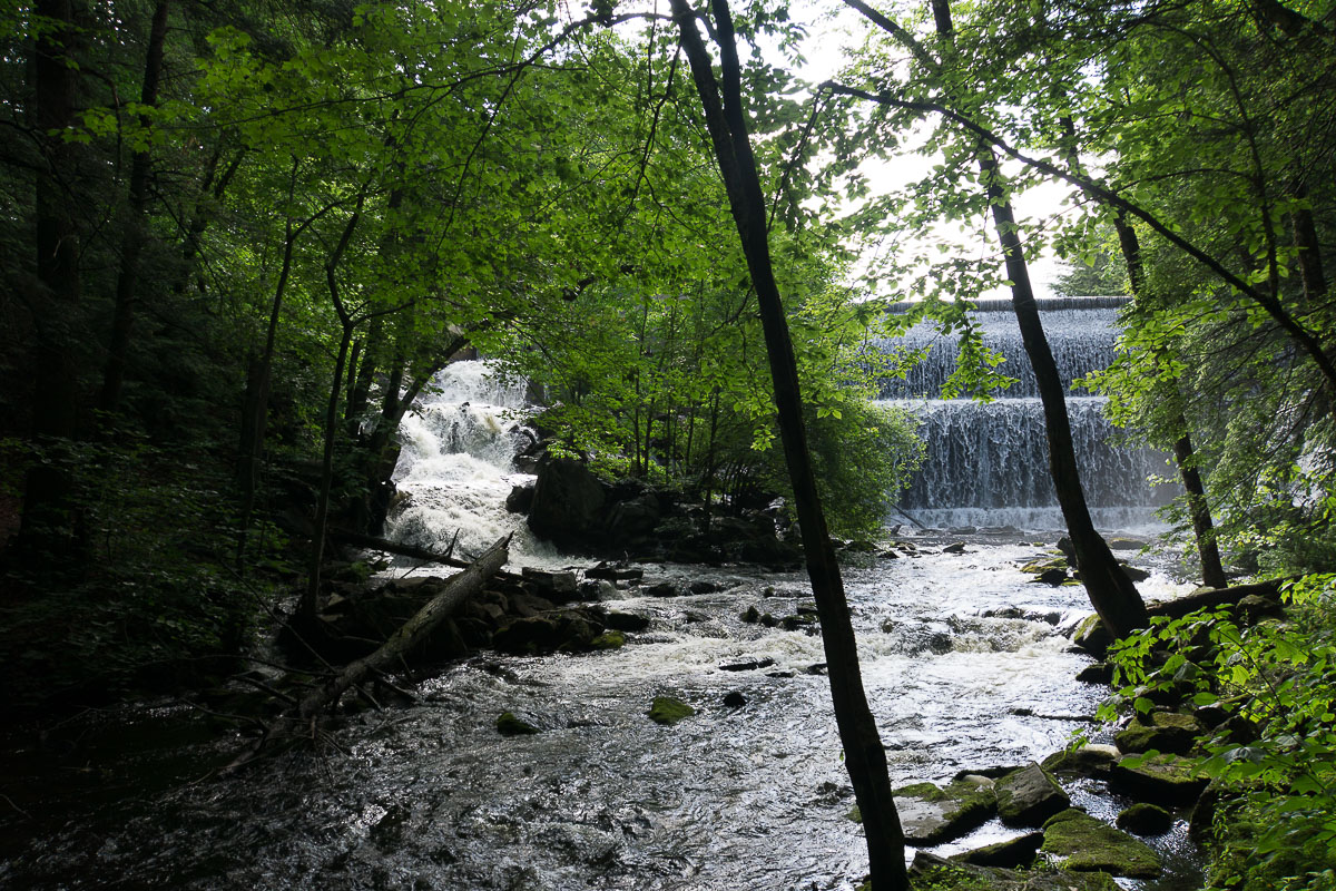
I got up early as I realized that this day I would have to make most miles during the entire hike.  It still took me a while to roll up everything and I finally let just shy of 7 am.  I did a little bit of laundry along the way as my T-shirt began smelling pretty bad.  A bit later I came to Robinson Brook Cascades. Robinson Brook Cascades I got to Pitcher Mountain around 10 am.  There were no cars at the parking lot and I figured there would be nobody at the top.  Indeed I got all the view to myself.  Mt. Monadnock as seen from Pitcher Mountain As I was descending I saw more coyote tracks. I continued on the trail until it entered forest service road where I ran into elderly couple who were trying to follow the road to the end but turned back as they weren't sure how far it would continue.  I didn't know myself until later when I reached Hubbard Hill where the road ended.  Hubbard Hill is entirely covered in blueberry bushes - i...
Monadnock-Sunapee Greenway 2: Spiltoir Shelter -> Crider Forest Shelter

Image
The two hikers that were staying at Spiltoir Shelter overnight left early, and I followed not long afterwards. Somehow I miscalculated the distance for this section by 2 miles or so. Since my pack was somewhat heavy I had been wondering to myself if maybe I were too old for this stuff, but then again I seem to go through a "crisis" like this on every backpacking trip! :) Waterfalls at Eliza Adams Gorge Short distance from Spiltoir Shelter I arrived at Eliza Adams Gorge which was pretty nice. I refilled my water bottles there, albeit the water had a reddish tint to it. Bridge at Eliza Adams Gorge After that there was a mixture of woods & road walking until I decided to eat early lunch at picturesque Childs Bog. Childs Bog Dam There were more woods & quite a bit of road hike to Nelson Center with a nice town center. Library at Nelson Center From there it was just more secluded woods all the way to Crider Forest Shelter where I arrived around ...

Monadnock-Sunapee Greenway 1: Gilson Pond Campground -> Mt. Monadnock -> Spiltoir Shelter.

Image
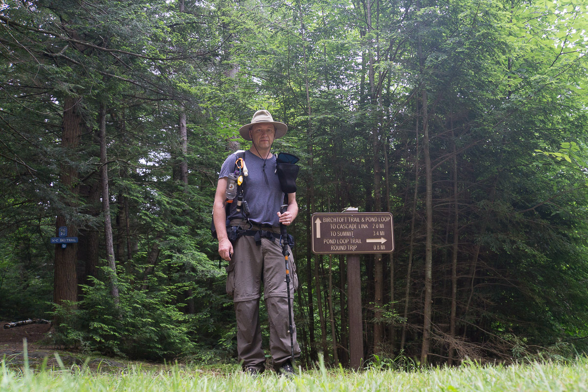
Starting on Birchtoft Trail I followed Birchtoft Trail to Red Spot to Pumpelly Trail on the way to the top for a total of about 3.5 miles. Red Eft at the Intersection of Birchtoft Trail and Cascade Link I was worried that I would get caught up in a thunderstorm on Monadnock but instead it was completely covered in fog, or maybe it was just in the cloud.  Anyways, I had a bit of hard time finding cairns as the air was pretty "milky." Junction of Red Spot & Pumpelly  Luckily I had most Monadnock trails on my GPS and eventually made it to the true top with USGS benchmark. USGS Benchmark at the top of Mt. Monadnock After a photo I began descending on MSG / Dublin Trail when two hikers passed me.  They were also heading to Spiltoir Shelter.  I heard thunder at a distance but eventually it moved away and I thought we were done for the day. Actually, when I got to Dublin Trail parking lot I got some sunshine and decided to put my rain gear into...

Monadnock-Sunapee Greenway 0: Logistics & Getting There

Image
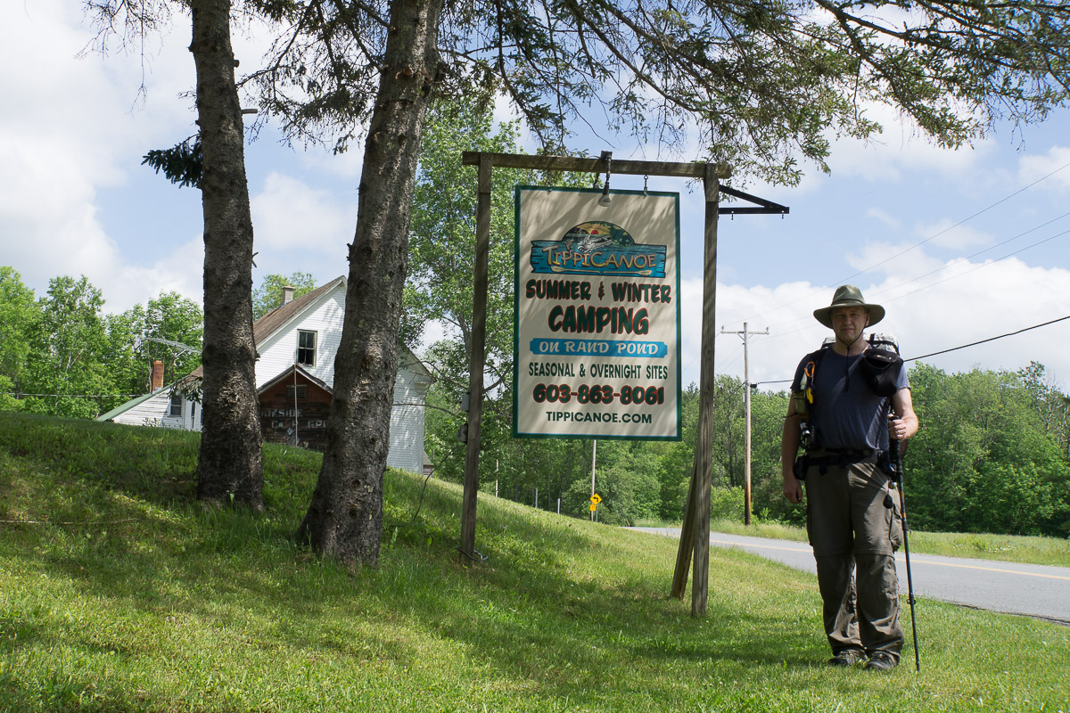
I learned about Monadnock-Sunapee Greenway several years ago when I hiked up Pitcher Mountain. Over time I got more info about the trail from various sources and this year I decided to hike it as I had an extra week of vacation that I did not want to loose.  I bought a trail guide and trail "super map" from Monadnock-Sunapee Greenway Trail Club ( https://www.msgtc.org ) and read the guide ahead of the hike.  The guide comes with a map, contains detailed trail description, has quite a bit of info about the trail history and includes trail mileage shown both ways (NOBO & SOBO.)  The super map has two features that the smaller map which comes with guide does not have: it shows location of water sources and has distances shown right on the map.  While on the trail I tended to use the super map whenever I wanted to plan things or know what to expect. I don't have many friends who like backpacking trips and when they go backpacking they usually look at "big...